Kanchanjunga Circuits Trek - 20 DaysKanchanjunga Circuits Trek - 20 Days

Kanchanjunga Circuit Trek - 22 Days

  • Duration22 Days
  • DestinationNepal
  • Difficulty Strenuous
  • Max Altitude 5,350m
  • Activity Trekking and excursion
  • Group Size min 2
  • Accommodation Comfort hotel in KTM and Tea houses on trekking
  • Meals Breakfast, Lunch & Dinner
  • Transportation Domestic flights and private vehicle
  • Starts KTM-Bhadrapur flight, jeep drive to Sekathum
  • Ends Yamphudin
  • Best Season Sep- Nov, March- May
Overview
Trip Highlights
  • Flight from KTM to Bhadrapur and Overngiht at Tea garden Kanyam Ilam
  • off the radar of most trekkers given its remote location
  • Deserving views, landscapes, glaciers and waterfalls
  • Mixture culture, traditions and unique harmonized ethnical groups
  • Abundant wildlife species such as blue sheep, musk deer, snow leopard, and black bear
  • Challenging adventure experiences in Deep Himalayas
  • Lush green forest, cold and hot climatic diversities
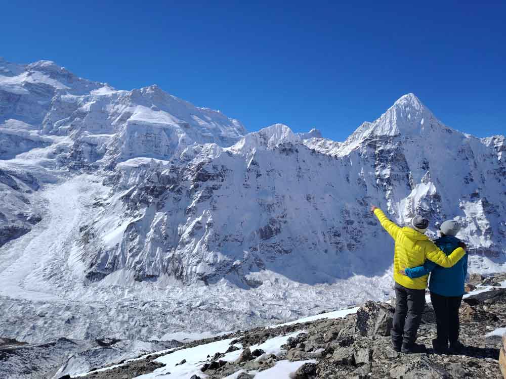
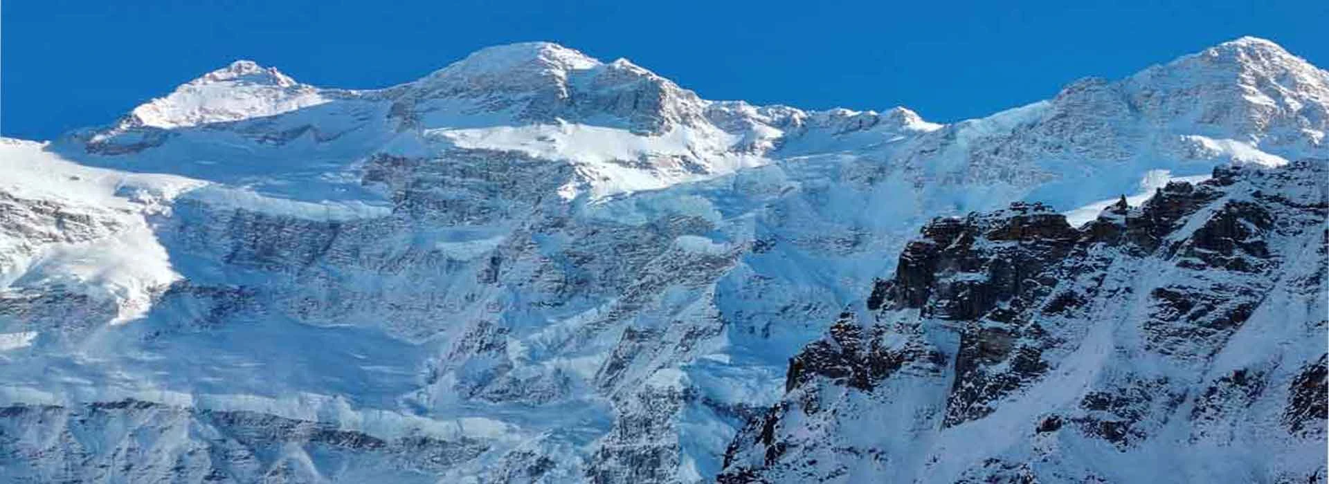
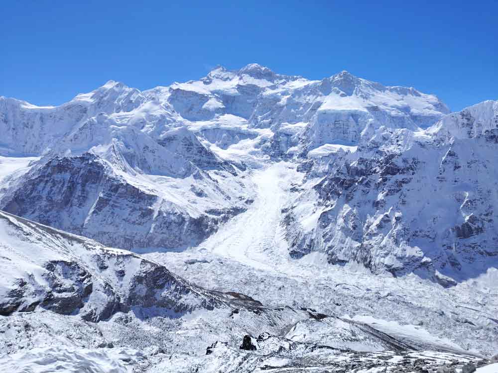
  • Massive views of the world’s 3rd highest peak including enormous glacier
  • Highlander nomadic pastures and huts


Pangpema
Kanchanjunga North Base Camp ( Pangpema)

Mt. Kanchanjunga 8,586m, is the second tallest mountain in Nepal and 3rd Mountain in the world. Kanchanjanga region trek is in the eastern part of Nepal, this region was opened only in 1988 for trekking. It is the sprout source of the Arun River which is one of the most popular and beautiful valleys for trekking through lush, low-lying valleys and up through incredible forests and into the high alpine pastures and glaciers landscape at the bottom of Kanchenjunga. Around this region, we enjoy an opportunity to experience the traditional culture of Rai, Limbu, Sherpa, Tibetan and so many other types of ethnic groups in perfect harmonization. Trekking in this area is an adventure that is full of enthusiasm excitement and above all, an unforgettable life experience. You will have an amazing opportunity to view/ explore the mountain’s wonderful rocky, landscape and sloppy hills.

The Kanchenjunga area is protected by the Kanchenjunga Conservation Area Project (KCAP) which is spread over an area of 2,035 sq. km. The Kanchenjunga area project is protecting varieties of flora, Fauna, and endangered animals.

Despite its stunning natural beauty, the Kanchenjunga region has remained off the radar of most trekkers given its remote location and lack of infrastructure. In recent years, teahouses have been opened up in the villages and other convenient locations along the trail. This means that small groups can now trek here more affordably and payment for accommodation and meals goes directly to the local economy.

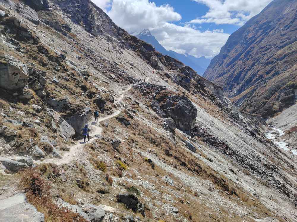
Note that, the trail is narrow and the teahouses are still simple, relatively few trekkers visit this remote area. You won’t find the fancy meals and attached bathrooms with hot showers available on the popular trekking routes, but you will experience real Nepal in all its diversity of cultures and landscapes.

There is essentially one main trail you can trek from North to southern Kanchanjunga basecamp. This route is more comfortable and acclimatizes altitude better rather from the South due to the fast ascending into the highland by steep adventure. Treks return to Ghunsa cross the Sele le Pass at 4800m and descend to Ramche and the South viewpoint. The trail crosses numerous ridgelines with incredible views back up to the Himalayas, lush forests, hot temperatures, and farmland ascending and descending to the ending point of your trek.

Itinerary

Arrive at Tribhuwan International Airport in Kathmandu and transfer to the hotel after greeting with a flower garland

Morning flight from KTM to Bhadrapur and 4 hours driving with a Private jeep to Kanyam Tea Garden or Phidim. There are many hotels and lodges in Ilam, but we recommend Kanyam for overnight. Ilam is a crowded, noisy Market area, whereas Kanyam is a quiet, silent, beautiful tea Garden with good views. Check in to the hotel and go sightseeing around the tea Garden, which is very famous in this area.

The way to Sekathum is still very far thus it is better to drive to Phiddim for overnight. If you reach Phiddim, it would be easier for the next day driving over bumpy road.

Nice breakfast with a beautiful sunrise and start your Jeep drive to Tapethok or Sekathum. Your Jeep from Bhadrapur airport will drive to Taplejung and have to change the other off-road driving to the Tapethok. During the drive you will pass through many picturesque, cultures and amazing places. Overnight at Sekathum

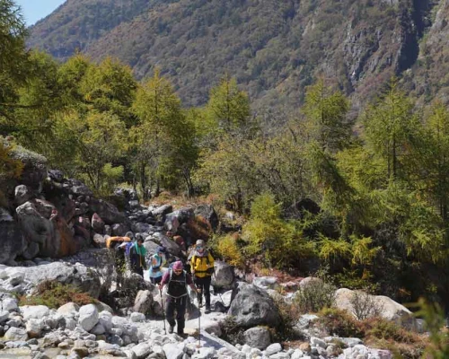
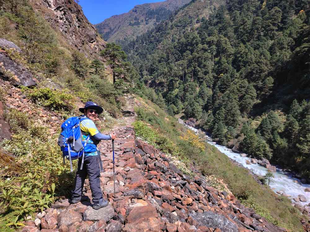
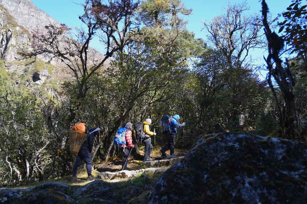
The trek mostly passes through lush green forests, waterfalls, and suspension bridges. We keep ascending along an inclined cliff, and finally, a Sherpa village appears. This is the final destination for the day. Amjilhasa is an ancient pasture field for the people of surrounding villages. At the moment, this place is more touristic rather than animal pastureland.

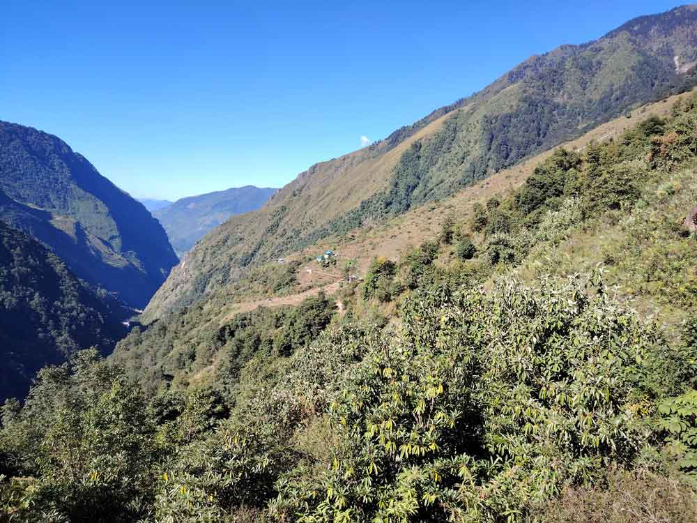
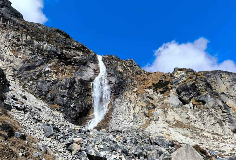
After breakfast, a short ascent through oak, bamboo, and rhododendron forests offers a great view of the southwestern side of Kanchenjunga. The route makes numerous steep climbs and short descents and passes a beautiful large waterfall before the final steep climb up to Gybala.

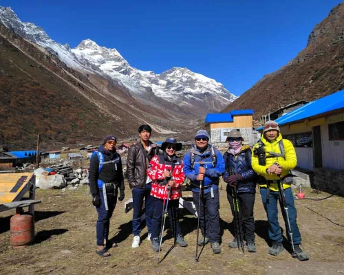
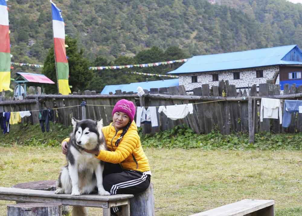
From Gybala, the trail carries on to the village of Kyapra and then climbs easily up to the right bank of the River. The trail crosses a large meadow past a few villages, ascends a gentle hill, and descends to the River. After the River, it is quite an interesting and easy walk to the Ghunsa village. This Tibetan village is dominated by real Buddhist culture and traditions. There are several tea houses, lodges, and Gombas.


ghunsaThe mountain character is very different, we have to follow and respect the rules of nature otherwise it is very dangerous. We must adapt our physical condition according to Nature, for that, we have to follow the rules of Nature. We recommend an extra day here at Ghunsa for acclimatization.

You can go up to the viewpoint at 4200 Meters and spend at least 15 minutes and descend to the village for lunch. You can go village exploration in the noon time or do your laundry and rest

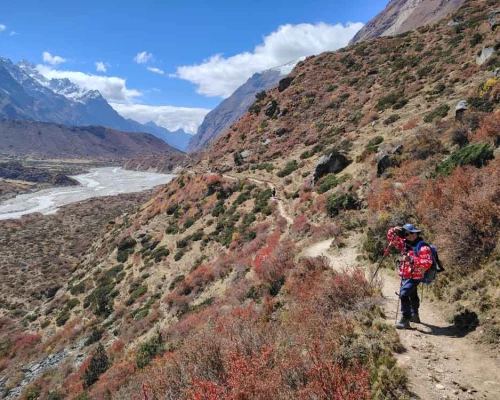
The route climbs gradually along the south bank of the Ghunsa Khola, through beautiful rhododendrons and pine forests, passing many mani walls, and colorful prayer flags, and shortens along the way. The trail climbs steeply up scree slopes to reach the Tibetan settlement of Khambachen, providing wonderful views of the huge north face of Jannu.


jaanuhimalAltitude-wise Lhonak is the best place for taking another acclimatization day however it has very narrow places for day hiking. If you take an acclimatization day at Khambachen then you can go to the beautiful Janu Himal viewpoint and glacier visit. From the higher, you can see the nice views of Mt. Kanchanjunga and several other mountains as well. Spend some hours higher up in the mountain and get down to the hotel for overnight.

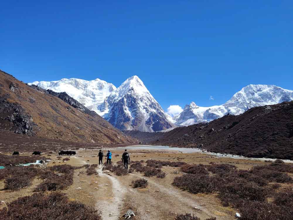
The trail from Khambachen is moderate climbing through exposed rocky fields to the village of Ramtang then crosses North West of the Kanchenjunga Glacier and enters into the large stone huts pastoral place called Lhonak. This place was big pastureland in ancient times, nowadays it is mostly focused on tourist business. It is situated between the two big glaciers' corners so drinking water always relies on the glacier's sources. The views of the Himalayas such as Wedge Peak (6750m), Mera Peak (6344m), Nepal Peak (6910m), and Twins (7351m) are mind-blowing from here

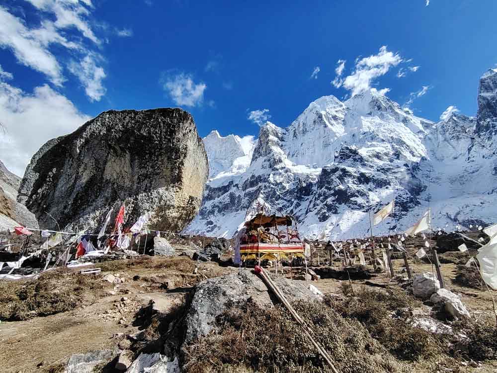
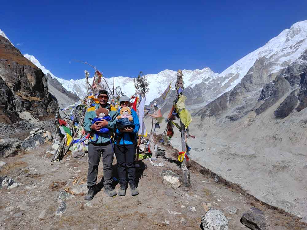
Trekking from Lhonak to Pangpema Base Camp is a gradual climb. It does not climb strongly, it often goes flat over the high lander plateau. The views of mountains, glaciers, and several arousing peaks make your walk very romantic and joyful. The trail passes through several glacier streams and moraines so that there is frequent rock falling. Every time we must become very attentive when we arrive close to the moraines or rock rolling sites. We must keep some distance from each other during this areal walk. We arrive at Pangpema by Noon time and go for site excursions. There are several monuments built at Pangpema in the name of those people who had lost their lives in the mountains. Overnight will be on the tent today.

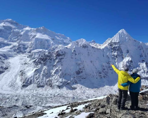
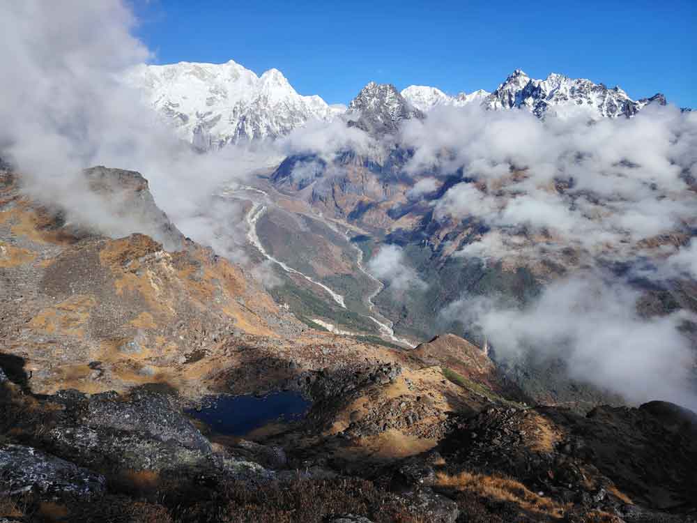
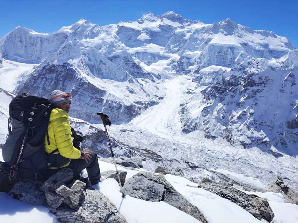
Wake up very early in the morning and climb up to the Dromo Ri for the best views. It is almost 2.5 hours to climb from Pangpema. The views from Dromo Ri are really beyond our expectations, with several mountains including the world’s 3rd Mt. Kanchanjunga, and gloomy glaciers making the excursion very rewarding. Descend to the hotel for breakfast and scale down to Lhonak for overnight.

northbc
View from Pangpema BC


Start your trekking after breakfast, walking downwards is easier than climbing up. The views of the mountains spread around every direction, the sounds of River streams, yaks pastoral passage, ancient Buddhist shrines and symbols, bridges and waterfalls, alpine forests and wildlife glimpses make your descending to Ghunsa valuable. Overnight at the hotel

Today the trail takes us through a forest and along a grassy ridge from where we can see Ghunsa and Phole villages as well as Mt. Makalu in the distance. Overnight at tea house


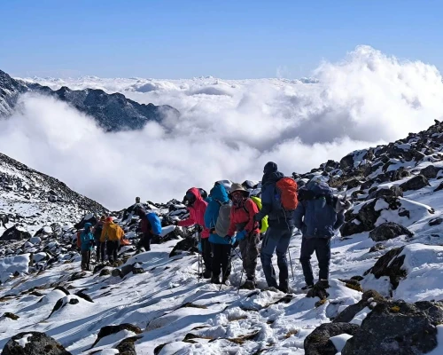
For impressive views of the Himalayas, the route crosses five passes, first Tamo La (3900m), an unnamed pass (4115m), Mirgin La (4663m), Sinion La (4660m), and another unnamed pass at 4724m. From this last pass, there is a steep descent of 1000m to the small settlement of Tseram, high above the Simbua Khola.


Oktang
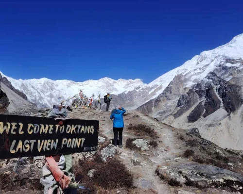
Oktang Viewpoint ( South Kanchanjunga Base Camp)

We recommend a day excursion to South Base Camp ( Oktang viewpoint) from Tseram without spending a night at Ramche while there are no suitable lodges and homes for overnight except tent accommodation. That causes a bit of uncomfortable and strenuous staying at Ramche. Local Government and conservation areas do not allow to build the hotels in this place. It is quite a windy and cold place for overnight which makes spending overnight is terrible in Ramche. Thus we advise spending the night at Tseram and making a bit of a longer excursion is better than having an uncomfortable night at this altitude.

Wake up very early in the morning, take some little items that are necessary for the day in a small pack, and hike to Ramche for breakfast. Keep climbing for about 3 hours (slowest) to the Oktang viewpoint and enjoy the beautiful scenery. Descend to Ramche for lunch and 1.5 hours down to Tseram for a comfortable overnight.

The route from Tseram to Ramche is mostly upwards climbing along the nose of the glacier into an ablation valley. After the Ramche it is gradually flat until you arrive at Oktang viewpoint. It offers magnificent scenery and views of meadows, glaciers, and all the peaks to the east along the Nepal- India border, such as Koktang (6147m), Rathong (6679m), and many more mountains above 7000m. 

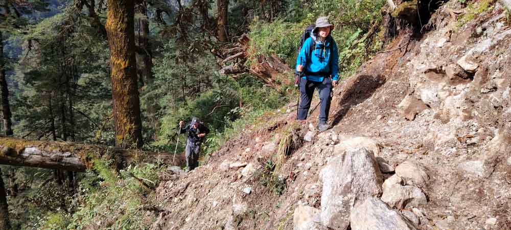
Today the trail is mostly downhill through a gorge. But the final section is a steep uphill over an area prone to landslides and through forests. There are no settlements until we reach Torongden, where there are a few teahouses.

After breakfast, we head off downhill and then it turns to a steep and long uphill hike. We pass over a landslide-prone area leading to Lasiya Bhanjyang where there is one teashop where we can stop for lunch. Then the trail takes a steep downhill through the forests until we reach the big village of Yamphudin. Overnight at a lodge.

A rough road has arrived at Yamphudin. The road is rough tough and bumpy until Taplejunung then it is in better condition. Driving all day along this road passes several villages, beautiful landscapes, terraced fields, and forests till you arrive at Birthamod. The temperature in Birtamod may be quite humid but you can enjoy your time at a comfortable hotel. The comfort hotels are mostly around Birtamod which is almost 11 kilometers away from the Bhadrapur airport. The next day, enjoy your breakfast at this comfort hotel and drive about 35 minutes to the airport. The flights from Bhadrapur are often bigger airplanes thus it gets rarely canceled. But do not forget to be at the airport one hour in advance of your flight time..

35 minutes morning drive from Birtamod to Badrapur airport and again 35 Minutes flight to Kathmandu. Free time in Kathmandu

Cost Details
What's included
  • Airport picks drop by private /car/van/bus
  • 2 nights Hotel accommodation (Twin bedroom) in Kathmandu before the trekking on BB planning.
  • 2-night Hotel accommodation (Twin bedroom) in Kathmandu after the trekking on BB Planning.
  • 1-day city sightseeing tour in Kathmandu with a cultural tour guide
  • Private vehicle for sightseeing in Kathmandu
  • 1-night Hotel accommodation (Twin bedroom) in Kanyam on BB planning
  • Restricted trekking permit for Kanchenjunga & Conservations permits
  • 3 times meals in a day (breakfast, Lunch, dinner) and enough hot water.
  • Necessary trekking staff, and porters with their wages and insurance.
  • Air ticket from Kathmandu- Bhadrapur-Kathmandu as well as domestic airport tax
  • Private Jeep from Bharatpur airport – Kanyam- Sekathum
  • Private Jeep from Yamphudin to Kanyam- Bhadrapur airport
  • Private Hiace for airport pick up
  • Private Jeep for airport dropping
  • Hot waterman arranger man on the trekking
  • Hot water bag at a higher altitude
  • First aid medical kid
  • Travel & rescue arrangements
  • All ground transportation for your trekking staff
  • Farewell dinner in Kathmandu
What's not included
  • Lunch & dinner during your stay in Kathmandu
  • Personal medical expenses
  • Rescue helicopter price in case necessary
  • Personal expenses and equipment
  • Bottle and can beverages
  • Travel Insurance
  • Tips for your staff ( at the end of the trekking)
  • Extra room in Kathmandu in case you need more than our agreement
  • Food and the rooms in case you return before the trip plan
Departure Dates
Select a Departure Month
Trip DatePriceAvailabilitySpace Left 
Trip DateOct 24, 2024 - Nov 14, 2024PriceUS$2350StatusAvailableSpace Left
Useful Info

How to go to Kanchanjunga?

Kanchanjung is a very remote Himalayan region in the eastern part of Nepal. It is connected by rough roads and flights with urban Cities such as Kathmandu, Biratnagar, Dharan, Ilam etc. Overland transportation to this trekking departs from different parts of eastern Nepal but flight operates only from Kathmandu to Suketar at Taplejung. Nepal Airlines schedules 3 days of flights per week but it is always unsure. The other flight companies do not operate their flight schedule to Suketar airport. So, most travel companies offer it by driving from Kathmandu to Taplejung or flying in and out from KTM to Bhadrapur and then driving Jeeps to Sekathum. Comfortable transportation access is more difficult in remote parts of the Himalayas in Nepal.

You must have an overnight at Ilam Kanyam or Phiddim while you fly for Trekking. Direct driving from Bhadrapur to Sekathum is impossible in a day. After the trekking driving directly from Yamphudin to Bhadrapur is possible. You must overnight somewhere at Birtamode and drive away to Bhadrapur about 35 minutes for the flight to Kathmandu.

Accommodation & Meals

Kanchanjunga region is also updating a lot for basic accommodations. The dining room is heated by burning yak dung. In some parts, they provide very nice rooms with attached bathrooms and hot showers. In a few places, there are still very normal accommodation facilities.

We will provide 3-time meals in a day on the trekking (breakfast, lunch, and dinner) as well as hot drinks like tea, coffee, and boiled water for drinking or filling water bottles….. Etc. But we won’t provide lunch and dinner during your stay in the city.

Drinking Water:

Travelers should be very aware of drinking water in Nepal. Travelers are not completely adapted to digesting direct normal spring water due to bacteria. So, we recommend drinking mineral water or boiled water. Also, you can use some purifier tablets such as chlorine tablets for purifying water on the trekking. We strongly recommend mineral water in the city area and purified or boiled water in the trekking.

Difficulty

Trekking in Kanchanjunga is considered a part of an adventure trip. There are steep ascends and descends and many passes, lots of ups and downs, high mountains, Glaciers, Rivers, and waterfalls. We have to sleep several nights above 3500m, and some days trekking will be more than 9 hours long in a dried and highlander landscape. Kanchenjunga trekking is fully mixed with nature, Culture, and adventures.

Permits & Regulations

You need to have a special permit or (restricted permit) for the Kanchenjunga Trekking. There should be a minimum of 2 trekkers in a group. Permit won’t be issued for single person or individual trekkers.

Kanchanjunga Restricted Permit: USD 10 per week

There is also Rs. 3000 entry fee for the Kanchenjunga Conservation Area project

Personal equipment list:

Good walking boots, a pair of track shoes and slippers to wear in the camp in the evening or when the boot is wet.

Warm jacket (Fibers fill or down should be adequate.)

A Rainproof jacket with a hood or poncho.

Woolen shirts and thick sweaters or fleece jackets.

Thin and thick trousers.

Trousers for higher up in the mountains in the morning and at night. Windproof/ waterproof trousers are necessary during treks going above 3000mtr.

Thermal underwear (These are excellent for sleeping at night)

A tracksuit for wearing in camp. 2 pairs of loose-fitting long shorts/ skirts. 1 lightweight long-sleeved –shirt is particularly suitable for avoiding sunburn.

A woolen or warm hat to wear in the morning and at night. Sunhat and ensure it has a wide brim to cover the face and neck.

A pair of gloves and good sun/snow glasses (warm and normal ones)

A Pair of thin and 2 pairs of thick warm socks, Underwear, buff, and hankies as you need.

Necessary personal items if you are a woman.

Accessories

Duffle bag or kit bag to carry gear while trekking, sleeping bag. Small rucksack to carry personal requirements for the day e.g. toilet paper, camera, film towel, soap, etc. Water bottle. Snow glasses and sunglasses, 2-4 large plastic bags to separate clean clothes from dirty ones. Headlamp with spare batteries, Snow gaiters, sun cream, personal medicine, lip guard, toothbrush, towel, reading materials, camera, game items (optional), notebook, rubber band, pen and pencil, a diary, a pocket knife, trekking map, passport copies.

Altitude sickness

Altitude sickness (acute mountain sickness) is difficulty sleeping, dizziness, headache, fatigue, loss of appetite, rapid pulse, nausea, vomiting, etc. It affects mountain climbers, hikers, and skiers because of lower air pressure and lower oxygen levels. It occurs as the result of failure to adapt to a higher altitude. It happens most often in the brains or the longs after the fluid begins to leak from the blood vessels.

When the fluid collects in the brain, you initially get headaches, loss of appetite, nausea, tiredness, want to lie down and do nothing, and a decrease of consciousness, and the problem with balance coordination is called high–altitude cerebral edema (HACE). If the fluid is collected in the lungs, you become breathless and dry, and an irritative cough begins, coughing up blood, discoloration of the skin, and chest tightness is called high altitude pulmonary edema (HAPE).

Prevention

To prevent acute mountain sickness; we have to follow fundamental gravity habits such as patience, consistency, and discipline in the mountain. Avoid rapid altitude gaining, drink enough water or fluid, acclimatize to adjust the body at a higher altitude, avoid alcohol, eat regular meals, get higher and sleep at lower altitudes, and avoid high altitudes if you have heart and lung disease. The main treatment for acute mountain sickness is to stop climbing and descend to a lower altitude if the symptoms occur. If the person is seriously sick, or cannot bring him/her lower altitude by walking and carrying then we need a helicopter charter for quick evacuations.