Domestic flights to and from Lukla
THE RAMECHHAP FLIGHT MANDATE: Due to airspace congestion in Kathmandu, the Civil Aviation Authority mandates that during peak seasons (March 15–May 15 & Sept 25–Nov 30), all scheduled passenger flights to Lukla operate out of Manthali Airport in Ramechhap. The Route: Drive 4–5 hours on the BP Highway from Kathmandu (starting around 1:30 AM), then take a 15-minute flight to Lukla.
We recommend our clients move a day earlier from Kathmandu to nearby Manthali for the flight to Lukla. That will provide the perfect views of the countryside, and it will not make the rush and uncomfortable drive. Most trekkers get driven in the middle of the night from Kathmandu to Manthali for the next day’s morning flight. There would be some discomfort, such as less sleep that night; if you do not arrive on time at the airport, the flight can be missed. You never know what is happening and going on the road in the countryside.
Road & vehicle facilities to Gokyo Lake, Renjo-La pass to Thame Trek.
The road connection is being extended close to Lukla. It is under construction, so the road is adventurous, bumpy, and Seasonal. The road from Kathmandu to Salleri is at least good for driving and takes about 12 hours, then at least 9 hours more to Surke. We must change the 4x4 vehicle from Salleri to Everest doorways or Everest doorways to Salleri, or use local vehicles. If the road is not damaged by rain, flood, or other problems, then you can easily get in and out of Surke, which is an hour away from Lukla Airport. Otherwise, passengers should walk a bit further until the Jeep is available. If the flight is cancelled or you have enough time and want to experience the lower Everest region, then overland driving is another exciting option.
Physical Requirements for the Gokyo Lake Renjo-La Pass Trek
1.🏃 Core Physical Demands:
- Sustained Endurance: Ability to walk 5 to 8 hours daily across 16 consecutive days.
- Varying Terrain Adaptability: Comfort with navigating steep stone staircases, narrow gravel paths, and shifting glacial moraines.
- High Altitude Stamina: Lung efficiency to handle thin air where oxygen levels drop below 60% of sea-level capacity.
- Load Management: Stamina to carry a 5 to 8 kg daypack containing your water, layers, and camera gear all day.
2.🏋 Recommended 4-to-8 Week Training Plan:
To ensure your body is ready for the back-to-back demands of the trail, focus on these training pillars starting at least 1 to 2 months before departure.
- Cardiovascular Conditioning: Run, cycle, or swim 3-4 times a week for 45–60 minutes to improve your aerobic capacity.
- Leg & Core Strength: Incorporate squats, lunges, planks, and step-ups to build joint stability and prevent knee strain on long descents.
- Stair Climbing: Train on a Stairmaster or the local stadium stairs to replicate relentless uphill climbs.
- Simulated Full-Gear Hikes: Spend weekends on longer 4-to-6 hour hikes wearing your actual trekking boots and loaded daypack
3. Mental Preparation & Pacing: Touren Nepal Treks emphasizes that mental determination is just as important as muscle power. Altitude does not respect gym numbers; it rewards patience. The secret to completing this circuit successfully is maintaining a slow, steady, and disciplined pace ("Bistari, bistari"), staying deeply hydrated, and trusting your guide to manage your acclimatization safely.
Altitude Sickness (AMS) Guide
The trek reaches higher elevations, meaning your body must adapt to thinner air. Touren Nepal Treks designs the itinerary with built-in acclimatization days in Namche Bazaar (3,440m) and Machhermo (4,470m) to help you adapt naturally.
Common symptoms to watch for:
- Mild: Headaches, dizziness, difficulty sleeping, fatigue, and loss of appetite.
- Severe (HACE/HAPE): Persistent vomiting, extreme breathlessness while resting, wet coughing, confusion, and loss of physical balance.
Rules for Prevention on the trail:
- Hydration First: Drink 4 to 5 liters of clean water or fluid every day to assist oxygen transport.
- The "Bistari" (slower) Pace: Walk slowly and consistently; never rush to match anyone else's speed.
- Ascend Smart: Follow the golden mountaineering rule—climb higher, sleep at lower.
- Strict Avoidance: Do not consume alcohol, sleep medication, or cigarettes during the ascent phase.
- Medication: Discuss using Acetazolamide (Diamox) with your doctor before leaving home to help accelerate acclimatization.
Clothing items for Gokyo Lake Renjo- La Pass Trek
- Lightweight walking boots, a pair of track shoes, and slippers to wear in the evening or when the boots are wet.
- Warm jacket (fiber fill or down should be adequate.)
- A Rainproof jacket with a hood or poncho.
- Warm clothes or fleece jackets.
- Thin and thick trousers.
- Warm trousers are useful higher up in the mountains in the morning and at night. (Windproof/ waterproof trousers are necessary during treks going above 3000 m)
- Thermal underwear (These are excellent for sleeping at night)
- A pair of loose-fitting long shorts and 1 lightweight long-sleeved shirt are particularly suitable for avoiding sunburn.
- A woolen or warm hat to wear in the morning and at night. A sun hat, and ensure it has a wide brim to cover the face and neck.
- A pair of gloves (warm and normal ones)
- 2 pairs of thin and 2 pairs of thick warm socks.
- Underwear, buff, and hankies as you need.
Accessories for Gokyo Valley Renjo La Pass Trek.
A duffel bag or kit bag to carry your gear while trekking, sleeping bag. Small rucksack to carry personal requirements for the day, e.g., toilet paper, towel, soap, etc. Water bottle. Snow glasses and sunglasses, 2-4 large plastic bags to separate clean clothes from dirty ones. Headlamp with spare batteries, sun cream, personal medicine, lip guard, toothbrush, towel, Reading materials, game items (optional), notebook, rubber band, pen and pencil, a diary, a pocket knife, trekking map, passport, and copies.
Teahouse Meals & Safe Drinking Water
Maintaining your caloric intake and hydration is the foundation of a successful high-altitude trek. Your full package covers three hot meals a day, alongside hot drinks.
What You Will Eat
Most teahouses offer a surprisingly diverse menu blending local Himalayan staples with adapted Western dishes:
- The Ultimate Trail Fuel: Dal Bhat (lentil soup, rice, vegetable curry, and pickles). It is packed with complex carbohydrates, completely fresh, and comes with free refills!
- Breakfast Staples: Porridge (oats or tsampa), eggs cooked to your preference, pancakes, Tibetan bread, and muesli.
- Western Options: Vegetable fried rice, noodles, pasta, potatoes (boiled or fried), and momos (dumplings).
- Important Food Safety Tip: Meat past Namche Bazaar. All meat must be carried up the mountain by porters or yaks without refrigeration. Stick to a vegetarian diet at higher altitudes to prevent foodborne illness.
Staying Hydrated Safely
Never drink untreated tap or river water in Nepal, as your digestive system cannot handle the local bacteria. You have three safe choices:
- Boiled Water: You can purchase flasks of boiled water from the teahouses each night to fill your bottles.
- Purification Tablets/Drops: Bring Aqua tabs or Liquid Chlorine (Piyush). Fill your bottles for free from local taps and treat the water. Wait 30 minutes before drinking.
- UV/Filtration Bottles: High-tech options like a Gray purifier or a Sawyer Squeeze filter work exceptionally well on the trail.
- Note: While bottled mineral water is available, it gets exponentially expensive the higher you climb, and the plastic waste creates a major ecological issue for the Khumbu region.
Accommodation
We provide accommodation according to your demand and accessibility, either normal standards or comfortable luxury hotels in the City. We provide very neat, clean, and comfortable hotels, lodges, friendly homestays, or locally what is available options for the most suitable.
🔌 Teahouse Electricity & Internet
The Khumbu region is remote, and power is a premium resource. Staying connected and powered up requires a daily cash budget.
Device Power & Charging
- Charging is Never Free: Most lodges rely on solar panels or localized generators. Expect to pay $2 to $6 USD per device for a full charge.
- The Cost Multiplier: Prices rise alongside your elevation. While charging a phone might be cheap in Namche Bazaar, charging a large power bank at Gorak Shep can cost significantly more.
- Pro-Tip: Bring a high-capacity power bank (20,000mAh+). Pay to charge the power bank fully when prices are lower, then use it to charge your phone and camera batteries for free at night. Keep your batteries stored inside clothes; extreme cold drains lithium-ion capacity rapidly.
Internet & Mobile Network Coverage
- Local Wi-Fi: Many lodges offer local Wi-Fi networks (such as Air網路/Everest Link cards). Data packets cost roughly $2 to $5 USD per device or per day, but speeds are notoriously slow, heavily throttled, and vulnerable to weather disruptions.
- Local SIM Cards: For a more reliable option, buy a local Ncell or Nepal Telecom (NTC) SIM card in Kathmandu for about $1 USD.
- Signal Strength: Ncell provides functional 4G data speeds from Lukla up to Namche Bazaar. Past Namche, the signal degrades to 3G/2G and becomes completely intermittent. At the highest stops—like Dzongla, Gorak Shep, and Everest Base Camp—cellular data is highly unreliable or non-existent.
🚁 Emergency Medical Evacuations:
If severe altitude sickness (HACE/HAPE) or a debilitating physical injury occurs, walking down is often impossible. In these critical situations, an emergency helicopter evacuation is needed.
⚡ EMERGENCY EVACUATION PROTOCOL
1. Diagnosis — Guide identifies severe symptoms (HACE/HAPE) or trauma.
2. Dispatch — Guide uses satellite text/mobile to call Kathmandu HQ.
3. Air Lift — Helicopter arrives within 1-3 hours (weather permitting).
4. Hospital — Patient flown straight to an international clinic in Kathmandu.
Crucial Insurance Requirements
- Check the Altitude Cap: Standard travel insurance plans cap out at 3,000m or 4,000m. You must purchase a specialized mountaineering policy that explicitly covers trekking up to 6,000 meters.
- Helicopter Evacuation Clause: Ensure your policy includes emergency Heli-rescue with "search and rescue" coverage. A single helicopter charter in the Khumbu can cost anywhere from $2,500 to $6,000 USD out-of-pocket if uninsured.
- Keep Your Documents Handy: Keep your physical insurance card, policy number, and emergency contact hotline easily accessible in your daypack at all times. Your trekking guide will need these details immediately to authorize a flight with the helicopter charter companies in Kathmandu.


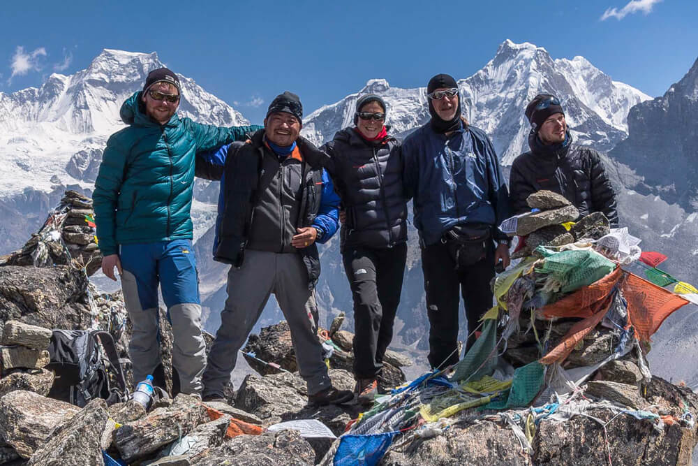
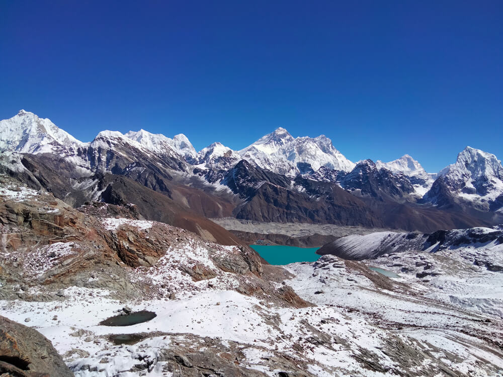

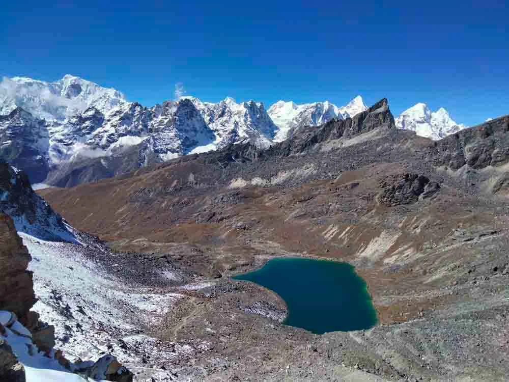
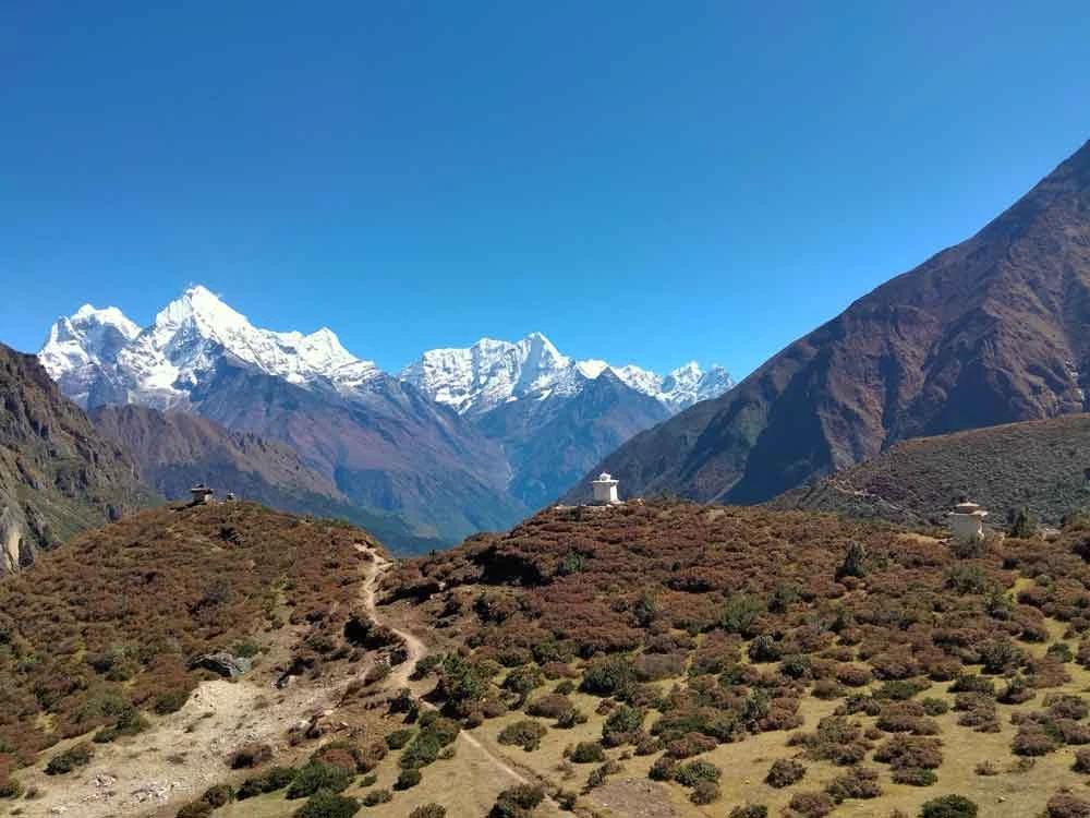

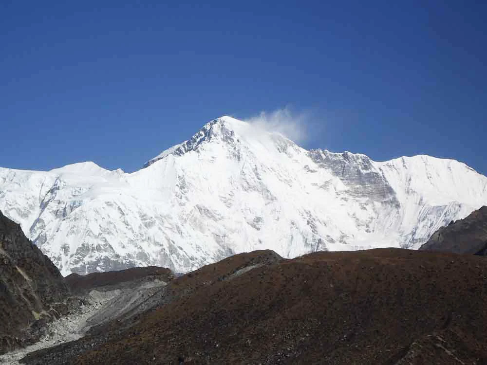
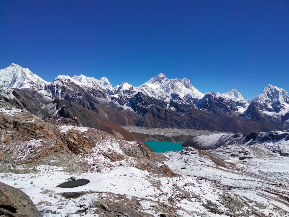
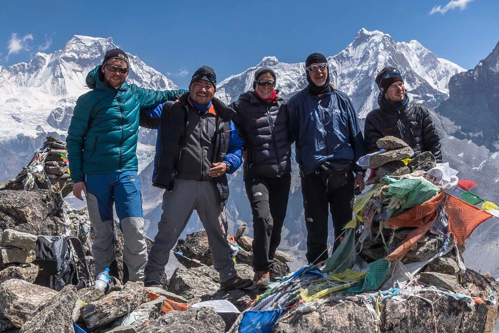
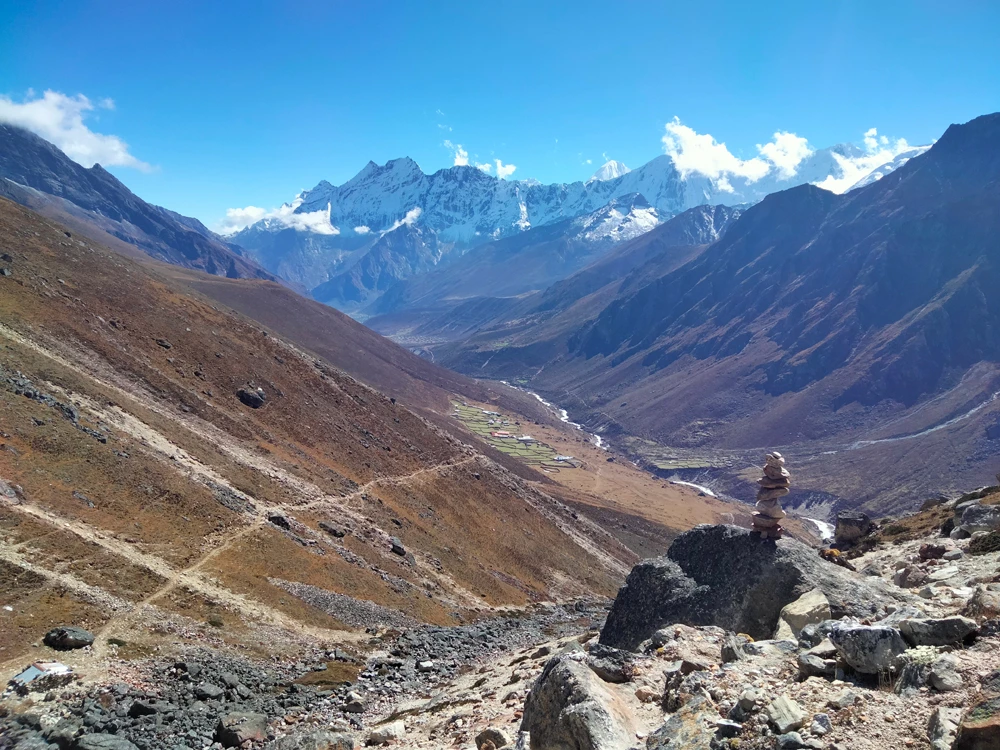
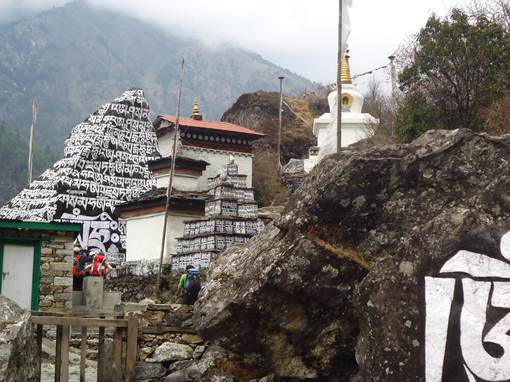 The flight takes about 25 minutes from Manthali to Lukla. Collect your baggage then move to the hotel and get introduced your trekking crews, make your breakfast then the trek begins gently to the left bank of Dudh Koshi River via Chaurikharka village, Kyangzoma, Thado koshi, Ghat and overnight at Phakding 2600mtr.
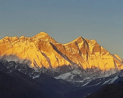
 We make a quick stop just over the shoulder of the steep ascent after one and a half hours of walking. From there you will have the 1st excellent view of Everest (8848m) and Lhotse (8516m). Then it takes approximately 45 minutes to arrive at Namche Bazaar. Below the Namche Bazaar, the Nepal police Bureau will control your trek permits for entry or exit.
 It is an easy flat trail until Sanasa through birch, pines, and fir trees with fine views of the mountains. From Sanasa, it climbs for one and a half hours up to Mongla Danda, then descends to Phortse Tanga. A well-known and typical ancient Sherpa village phrase is nicely visible along the way. There is a heavy alpine forest of fir, rhododendron, birch, alpine bamboo, and pines between Phortse Tanga and Dole. The trail is scenic and mostly gradual uphill through the alpine forest.